This post may contain affiliate links. I may earn a small commission if you click through them, at no extra cost to you.
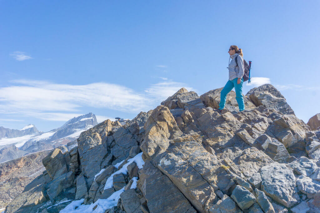
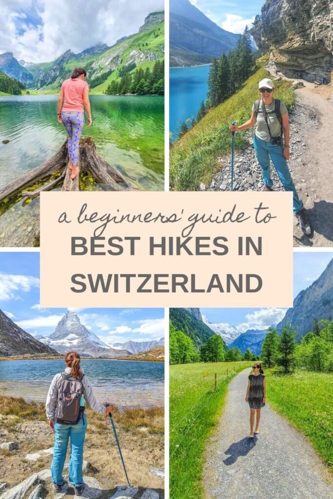
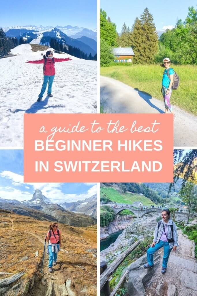
Looking for the best hiking trails in Switzerland for beginners? This list of 8 of the best hikes in Switzerland covers some of the most beautiful and exciting Swiss trails for newbie hikers!
Hiking in Switzerland is a national obsession for a good reason: it offers some of the most incredible mountain scenery in Europe and even the world!
It’s also the best way to explore the amazing Swiss Alps and admire the country’s many natural wonders, from Alpine peaks, lakes, and glaciers to romantic valleys, flowering meadows, and charming vineyard plateaus.
And the good news is you don’t need to be an experienced hiker to get started. In fact, before moving to Switzerland I had no previous hiking experience. Now, after 8 years and a few kilometers in my hiking shoes, I’m hooked!
Switzerland’s hiking network is huge and includes trails for all levels of experience and fitness, meaning there’s something for everyone to enjoy.
So without further ado, here are my favorite Switzerland hikes for beginners.
Read More:
- 15 Best Hiking & Yoga Retreats Around the World
- Top 10 Fabulous Yoga Retreats in Switzerland
- 21 Best Wellness Walks & Hikes in Europe
- The Essential Hiking Packing List for Beginners
Switzerland Best Hikes for Beginners:
#1 Gornergrat to Riffelsee and Riffelberg, Zermatt Hike
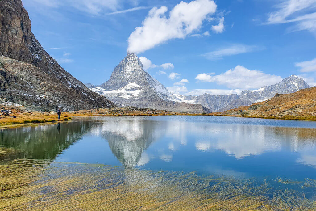
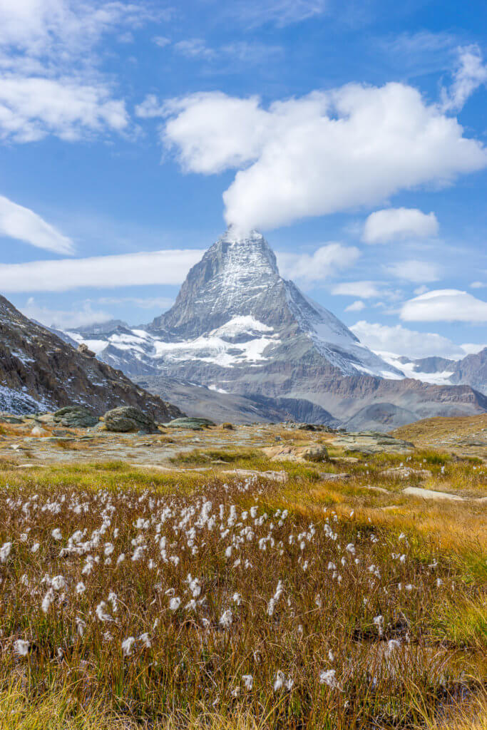
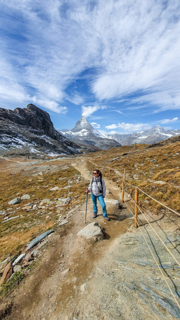
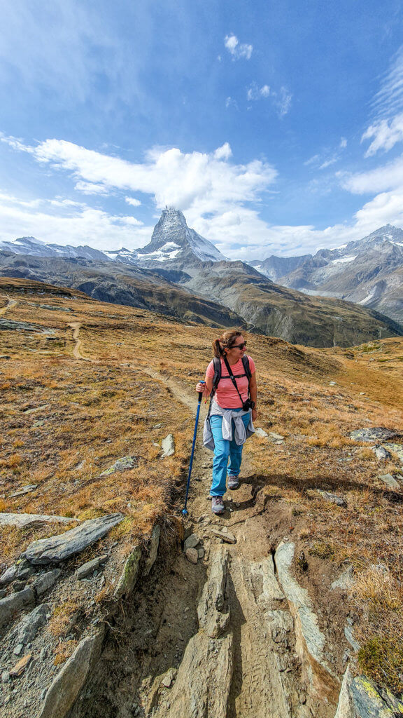
If you only do one hike in Switzerland, let it be this one. This Zermatt hiking trail with views of the mighty Matterhorn all along the way is one of the most spectacular and impressive hikes in the Swiss Alps!
It’s also an easy and short one, so it is suitable for all skill levels and leaves you with plenty of time to explore more of Zermatt.
Distance: 5 km
Walking time: 2 hours
Difficulty: Easy
Summary
This incredible Swiss Alps hiking trail starts at the top of the Gornergrat, at 3089 meters above sea level. It then leads you down to the famous Riffelsee lake, where you can see the reflection of the Matterhorn on the surface of the water (if there’s no wind). From Riffelsee, it continues through stunning mountain scenery until Riffelberg, for the train or cable car back to Zermatt.
How to get there
To get from Zermatt to Gornergrat, you need to take the Gornergrat Bahn, which is the highest open-air cogwheel train in Europe. The ride takes 33 minutes and it’s an experience in itself, offering gorgeous panoramic views of Zermatt and the Matterhorn.
We took the train at 10 and arrived at Gornergrat at 10:33 on a sunny Saturday morning in September.
Right next to the Gornergrat station, there’s a terrace overlooking the Matterhorn, glaciers, and surrounding peaks. But if you walk up to the Gornergrat summit viewpoint, behind the hotel and restaurant, the views are even better.
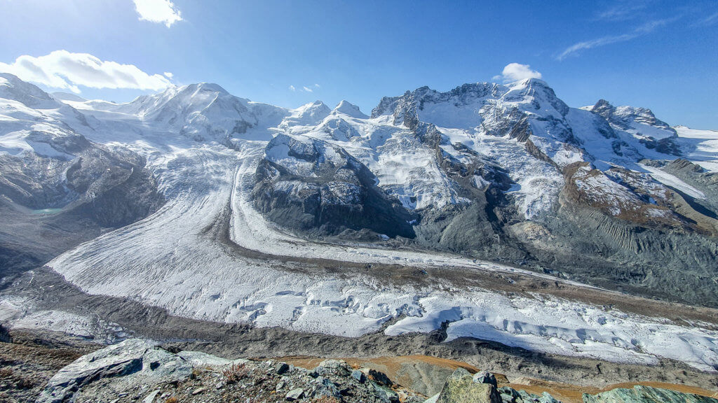
From here, you can admire the Gorner Glacier (the second-largest glacier in the Alps), and 29 peaks above 4000 meters, including the Monte Rosa massif with the Dufourspitze (Switzerland’s highest peak), and of course the legendary Matterhorn.
As if all of this was not enough, at 3100 meters, the Kulmhotel Gornergrat is also the highest hotel in the Swiss Alps and one of the highest in Europe.
We spent more than 1 hour here soaking up the views and visiting the hotel’s café and shop, before starting the hike itself. It was almost noon when we finally set off on the trail.
Book your skip-the-line ticket to the Gornergrat Bahn here.
Trail description
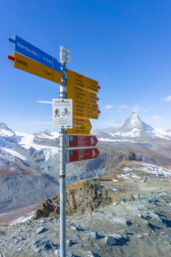
From the train station, simply follow the yellow signs to Riffelsee. As you walk towards the Matterhorn, the trail is everything you would expect from hiking in the Swiss Alps, and more!
Before arriving at Riffelsee, you can take a picture with the Toblerone logo and the real Matterhorn near the Rotenboden train station. We did!
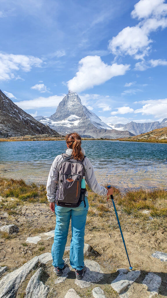
We then stopped at Riffelsee for lunch and some photos. Unfortunately, it was a bit windy to catch a perfect reflection of the world’s most famous mountain on the surface of the lake. But the peaceful and incredible scenery was still unforgettable.
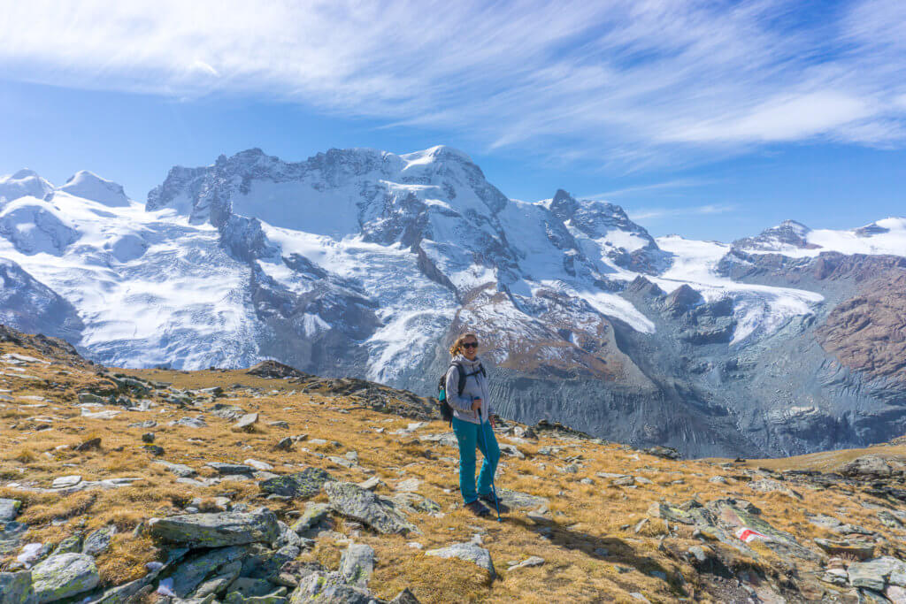
From Riffelsee, follow the signs to Riffelberg or the Riffelseeweg trail number 21. There’s a shorter trail to Riffelberg, but we followed the Riffelseeweg trail, which is only 20 minutes longer and offers some great views.
We reached the Riffelberg train station just before 2:30 pm, so it took us around 2,5 hours to complete the hike, with a break for lunch and lots of stops for photos along the way.
You can book your skip-the-line ticket to the Gornergrat Bahn here.
#2 Oeschinensee Hike
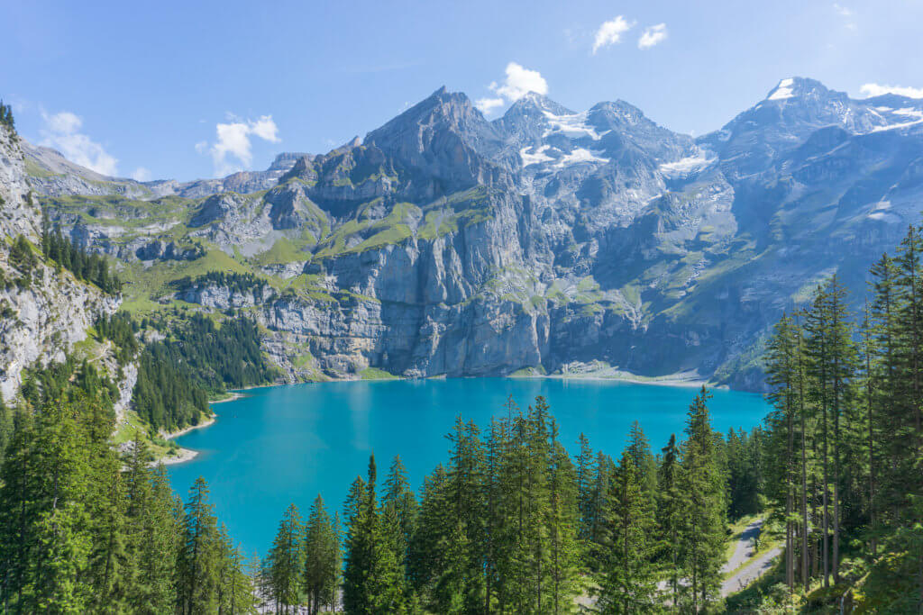
Lake Oeschinen was on my bucket list for so long and I was not disappointed when I finally got to see it with my own eyes.
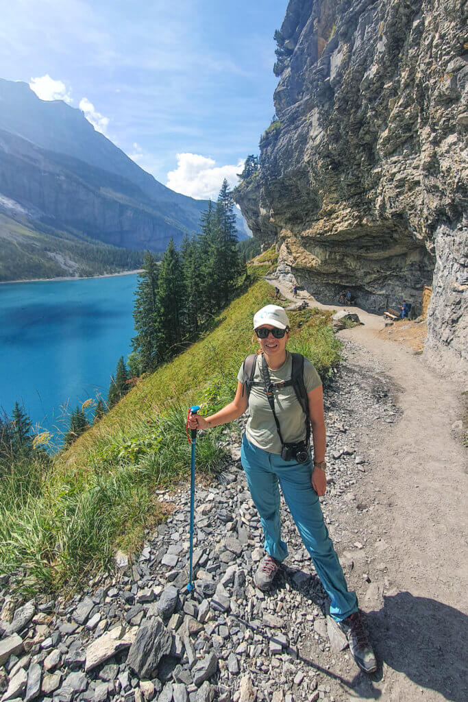
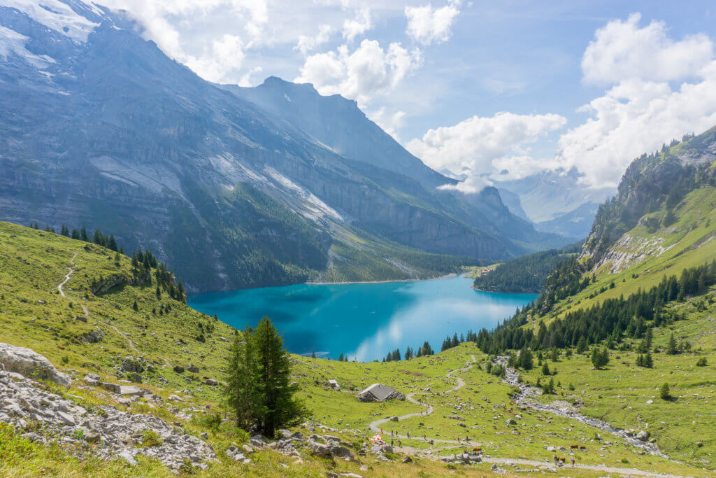
At 1,578 meters, Oeschinensee is probably one of the most, if not the most beautiful Alpine lakes in Switzerland. Think spectacular mountain peaks, mesmerizing bright green and blue waters, and amazing unspoiled scenery all around.
Distance: 8 km
Walking time: 3,5 hours
Difficulty: Moderate
Summary
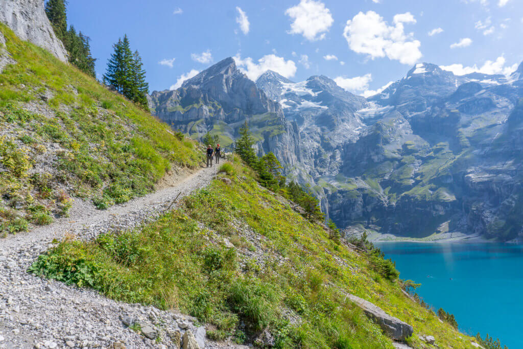
This moderate semi-loop trail starts from the Oeschinen gondola lift towards the lake. It then leads you to the Oberbergli mountain hut, past some waterfalls, and stunning views of the lake and the mountains all along the way. From Oberbergli, you go down through the same path and then take the trail on the left to the lakeshore, before heading back to the cable car.
How to get there
You can easily reach Kandersteg by car or public transportation. If you’re driving, there’s a park conveniently located right next to the cable car.
From Kandersteg, we took the gondola lift to Oeschinensee around noon. It takes only 5 minutes to get up the mountain to the start of the trail.
You can buy your return ticket online here to skip the lines. There are also some ticket machines available, but the lines were very long when we visited so we bought our tickets online to save time.
Also, make sure to double-check the schedule for the last ride back to Kandersteg and to be there on time, or you’ll need to walk all the way down the mountain.
Trail description
From the station, follow the yellow signs to Oeschinensee. Then follow the second trail on your left to Oberbergli.
There’s also a more challenging and exposed trail up the mountain but I wouldn’t recommend it if you’re not an experienced hiker or are afraid of heights. We took the easier one following the yellow signs to the Oberbergli mountain hut.
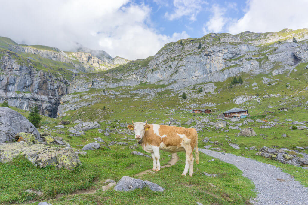
From here, it’s an easy, flat walk, past many Swiss cows and stunning mountain scenery until Restaurant Zur Sennhütte, where you get a first glimpse of the lake. We stopped here for our picnic lunch and to admire the views.
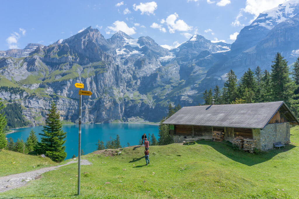
After this point, the trail gets a bit more challenging with some ups and downs, but nothing too difficult. It then turns into a wide trail around the mountain, with the bright blue Oeschinen lake below and amazing views all the way.
The most challenging part is the climb to the Oberbergli. The view from up there is well worth the effort though.
Once you reach the mountain hut, you’ll have to go down through the same path and then follow the trail next to the lakeshore.
Alternatively, you can skip the steep ascent to Oberbergli, and have a pause at the first hut, which offers great views as well.
It took us around 4,5 hours to complete this Kandersteg hiking trail and get back to the gondola lift. We did a couple of breaks though, so you can easily do it in less time.
#3 Rigi Panorama Trail
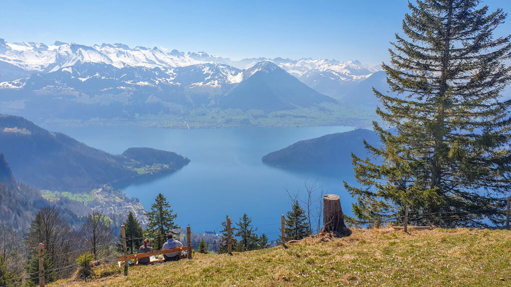
Called the Queen of the Mountains, Mt Rigi reigns majestically over central Switzerland and Lakes Luzerne, Zug, and Lauerz.
Easily accessible from both Zurich and Lucerne, it is a popular Swiss hiking destination for both winter and summer hiking and a favorite with the locals.
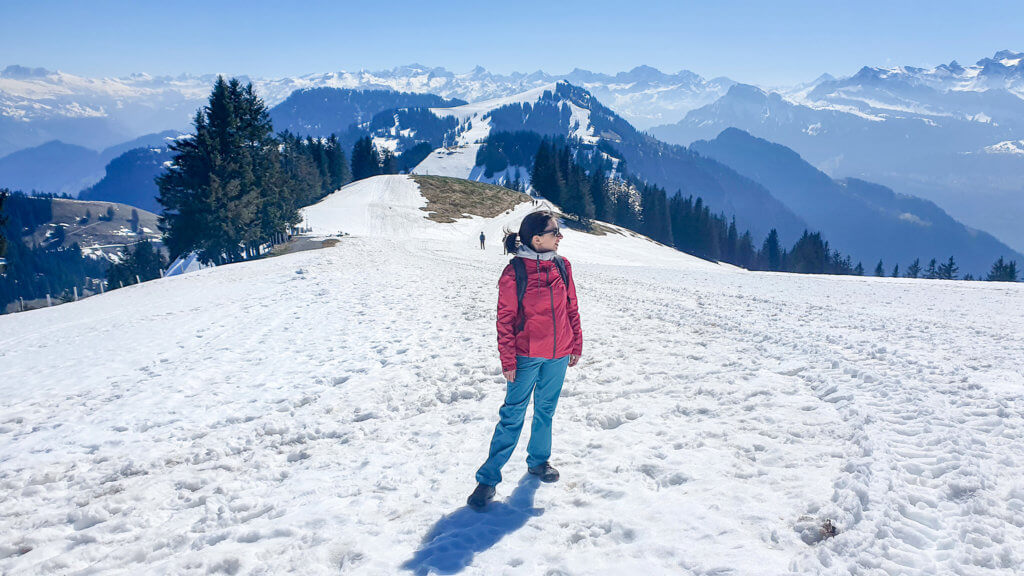
I did the classic Rigi Panorama Trail in early April when the trail was still covered with snow, and it was an experience like no other!
I now want to return in the summer months to admire the green scenery and do the Rigi Cliff Walk.
Distance: 8 km
Walking time: 3,5 hours
Difficulty: Easy
Summary
This easy Switzerland hike is a perfect option for those looking for some great hiking near Zurich and Lucerne! The trail starts at Rigi Kulm, Mt Rigi’s highest peak at 1798 meters, and goes down to Rigi First and the famous Rigi Cliff Walk with gorgeous mountain and lake scenery. From here, it continues to Rigi Scheidegg for more amazing views and some paragliding watching.
How to get there
For public transportation, take the train to Arth-Goldau and then the Goldau-Rigi Kulm mountain train. On your way back, you’ll need to take the cable car from Rigi Scheidegg to Kräbel and then the mountain train from Kräbel to Goldau.
If you’re driving, there’s a parking lot right next to the mountain train and gondola station in Kräbel.
We drove and then took the cog-wheel train from Kräbel to Rigi Kulm around 10:30. The train ride up the mountain takes about 20 minutes from Kräbel and offers spectacular views along the way.
Once you get off the train, you can hike to the top of Mount Rigi and admire the 360-degree views. We spent half an hour here enjoying the stunning scenery, before venturing on the trail.
You can book a combined ticket for the cog-wheel train and the cable car here.
Trail description
From the Rigi Kulm station, follow the signs to Rigi Staffel and from there to Rigi First. In Rigi First, there are some places selling food and drinks. We didn’t stop here though.
From Rigi First, you can also take the cliff walk (follow the signs to Felsenweg), which unfortunately for us was closed when we visited in April due to the snow.
We continued to Rigi Scheidegg on the main trail with some gorgeous lake and mountain views all along the way, with a stop for a picnic halfway through.
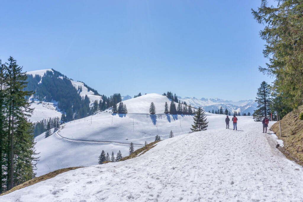
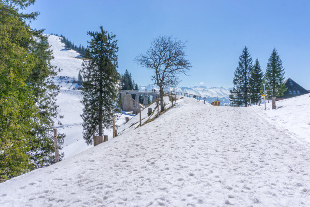
In the end, before taking the cable car from Rigi Scheidegg back to Kräbel, we climbed all the way up the mountain for the best panoramic views of Rigi Kulm and Lake Zug. Rigi Scheidegg is also a popular area for paragliders, which was nice to watch.
The whole hike took us around 4 hours with snow and a pause for lunch but should be faster in summer and fall when there’s no snow on the trail.
Book your day pass for the cog-wheel train and cable car here.
#4 Seealpsee to Äscher Guesthouse and Ebenalp, Appenzell Hike
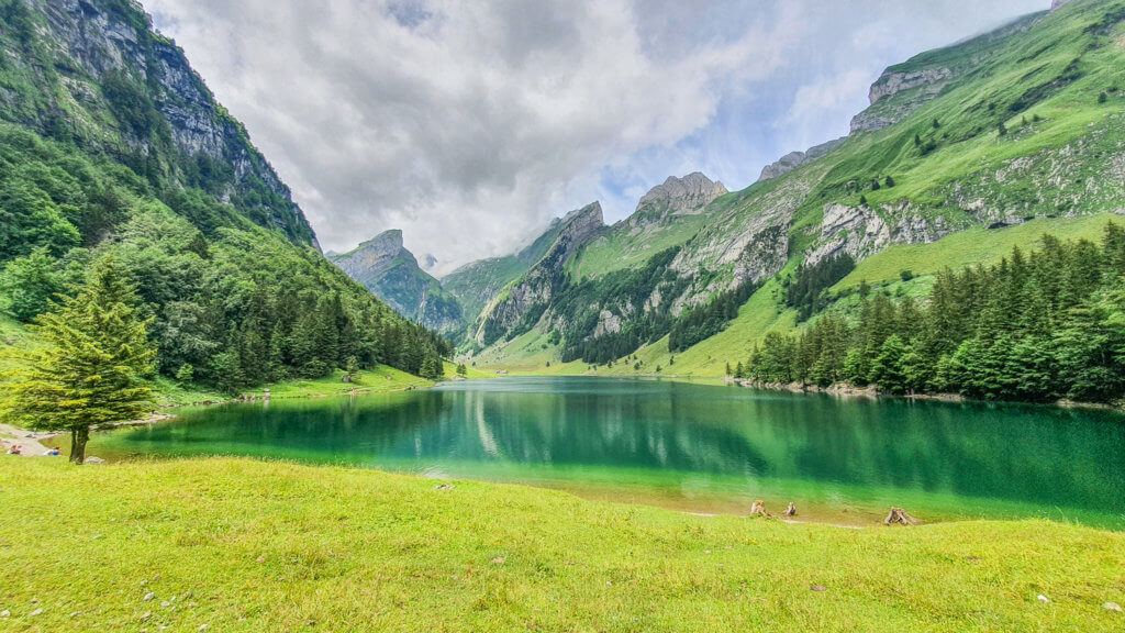
This trail in the beautiful region of Appenzell was one of my first Swiss hikes and one that I truly loved!
It was a bit more challenging than I had anticipated, and it’s probably the most challenging hike on this list, but still doable for beginners like us and totally worth it for the gorgeous and authentic Swiss scenery.
Distance: 7 km
Walking time: 3 hours
Difficulty: Challenging
Summary
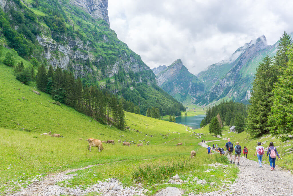
From verdant valleys dotted with animals and surrounded by imposing mountains, to the breathtaking Lake Seealpsee, and the famous Äscher restaurant perched on a cliff, this lovely Appenzell hiking trail is what Switzerland is all about.
How to get there
To start the trail, you can drive or take a train to Wasserauen. If you’re driving, make sure to get there early though as it can get pretty busy, especially during the weekends.
We arrived after 10 am and all parking lots near the cable car station were already full, so we had to park a little further away.
In the end, you’ll need to take the cable car back from Ebenalp to Wasserauen.
Trail description
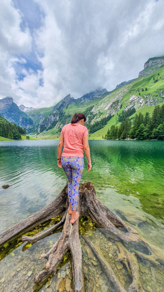
To hike up to Seealpsee from Wassearauen, you can walk along the paved road or take the more difficult mountain trail. We opted for the latter and were so glad we did because the scenery was simply amazing!
The mountain trail starts on the opposite side of the cable car, just behind the café and restaurant trailers. We asked here and they pointed us in the right direction.
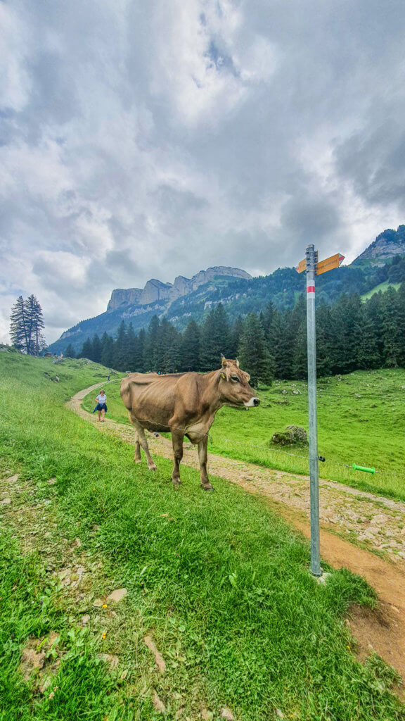
It begins with a steep climb through a forest area. We then walked through a lovely and mostly flat path where we encountered many animals until we reached the gorgeous Lake Seealpsee.
This first part of the hike took us around 1 hour. We stopped at the lake for lunch and some photos with this wonderful Alpine backdrop.
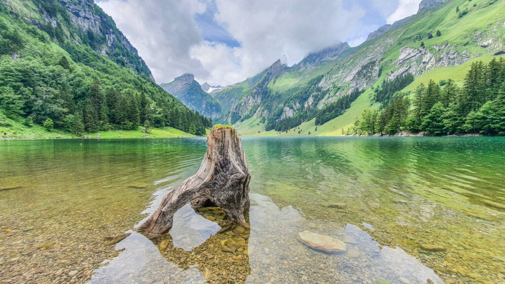
The second part of the hike was even more challenging, but still very rewarding. The steep ascent from Seealpsee to the famous Äscher mountain restaurant took us about 1,5 hours.
With a sense of accomplishment, we stopped here for a beer and a well-deserved rest admiring the impressive views.
After the restaurant, we hiked through the Wildkirchli caves and a rocky path to the top of the mountain for some more gorgeous views.
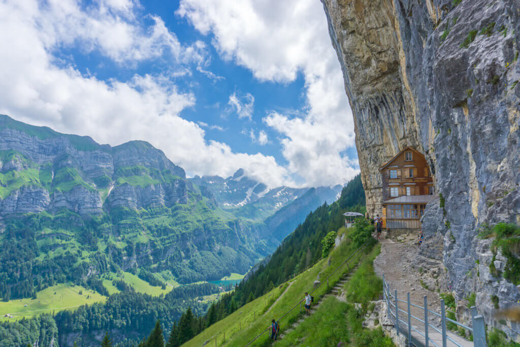
From Ebenalp, we took the cable car back to Wasserauen. Alternatively, you can go down on a different trail from the Äscher guesthouse to Wassearauen.
It’s also possible to do this trail in the opposite direction, taking the cable car first, starting from Ebenalp and walking down to Wasserauen. This should make it slightly easier, although I definitely recommend a pair of hiking poles for this one, to protect your knees from all the downhill.
#5 Caumasee to Swiss Grand Canyon and Crestasee Hike
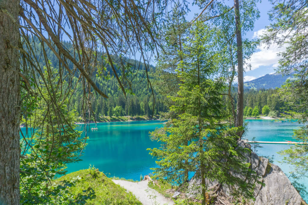
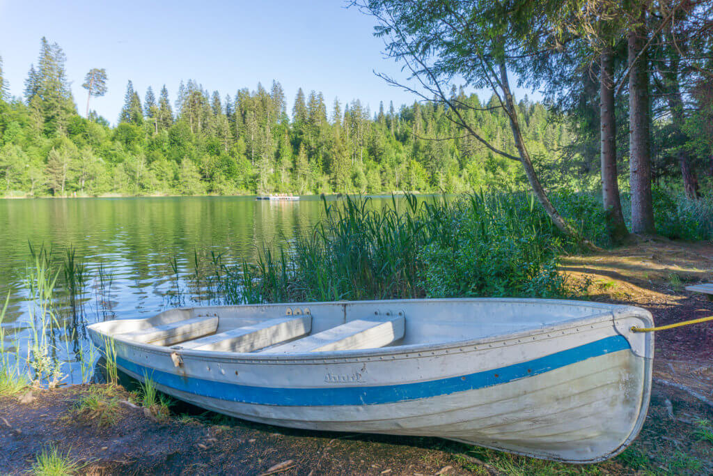
Looking for a relaxing Swiss hike perfect for beginners without compromising on scenic views? Then this pleasant trail, including two stunning lakes and the famous Rhine Gorge, is the one for you.
Distance: 6 km
Walking time: 2,5 hours
Difficulty: Easy
Summary
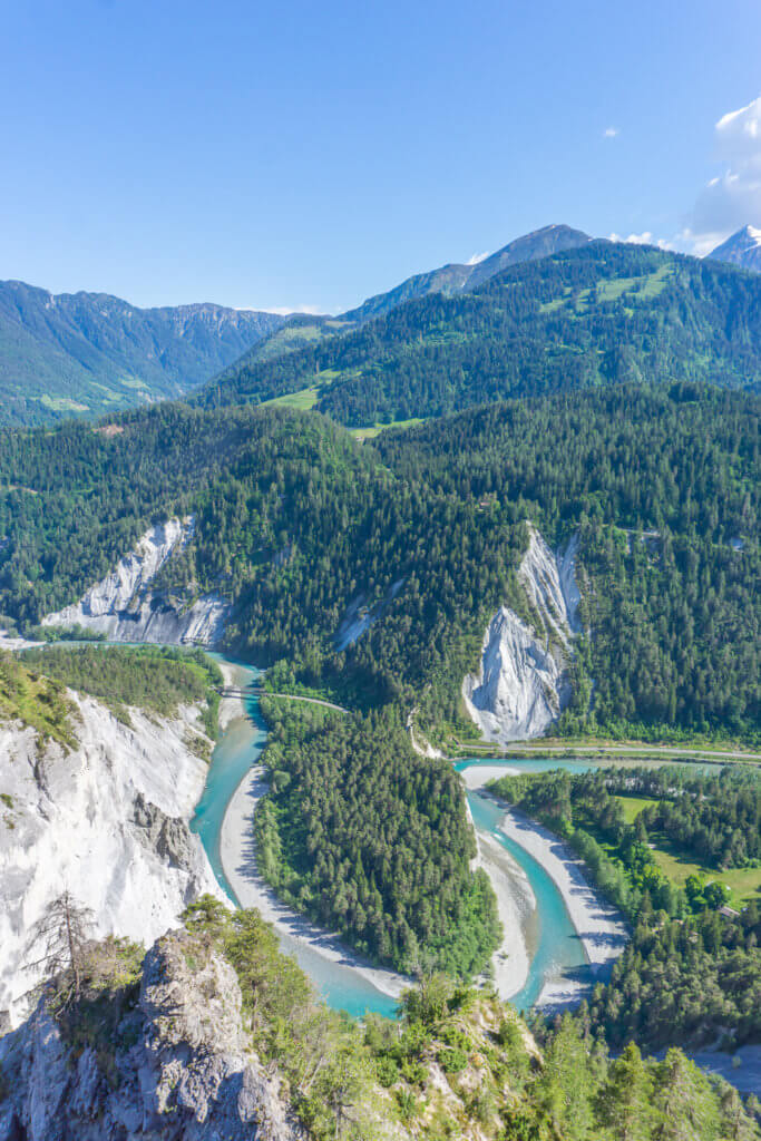
This easy Switzerland trail starts at the beautiful turquoise Lake Cauma, continues along a forest path that opens onto a valley and the Rhine Gorge, aka the Swiss Grand Canyon, and ends at the secluded Lake Cresta. In summer, you can also swim, rent a boat, or have a picnic by one of the lakes.
How to get there
To visit Caumasee, you need to park in Flims and then follow the signs to the lake (or where everyone else is going).
If you’re traveling by public transportation, take the train to Chur and then the bus from Chur to Flims Waldhaus.
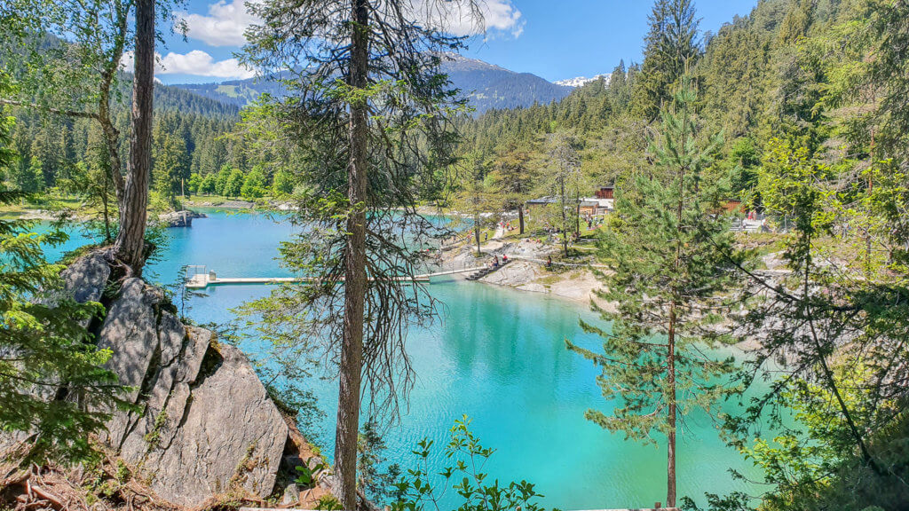
The lift to Lake Cauma is free bus was closed when we visited, so we walked down to the lake and then all around it to admire its amazing colors.
Be aware though that Caumasee is very popular with the locals (for obvious reasons!) and can get very crowded on summer weekends.
Trail description
From Lake Cauma, follow the signs to the Rhine Gorge. If you go around the lake clockwise, at the far right of the lake you will find yellow signs to the Rhine Gorge/Ruinaulta and Conn.
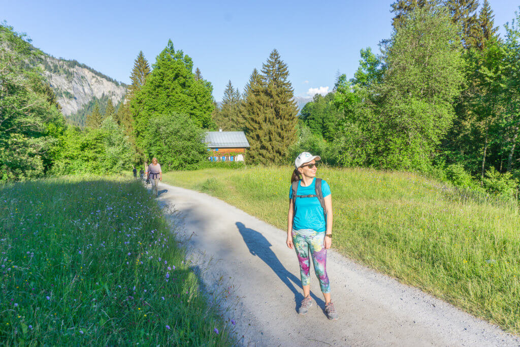
From here, it’s an easy and lovely hike to Restaurant Conn, strategically located in the middle of the green scenery. We had lunch here, before walking the rest of the trail to the Swiss Grand Canyon.
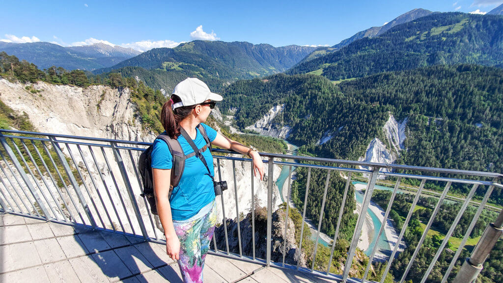
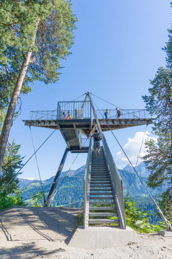
To see the Rhine Gorge, you need to follow the signs and do a short detour from the main trail. Once there, there’s also a viewing platform you can climb for the best views and photos of the Swiss Grand Canyon.
For the second part of the hike, follow the signs to the Crestasee, another beautiful yet much quieter lake.
There’s a restaurant and a place selling drinks by the lake. You can also swim or have a barbecue if you want.
We took a break here to admire the scenery and recharge and then walked to the bus stop at Trin, Felsbach through another easy and lovely trail.
Finally, we caught the bus back to Flims Waldhaus to get back to our car.
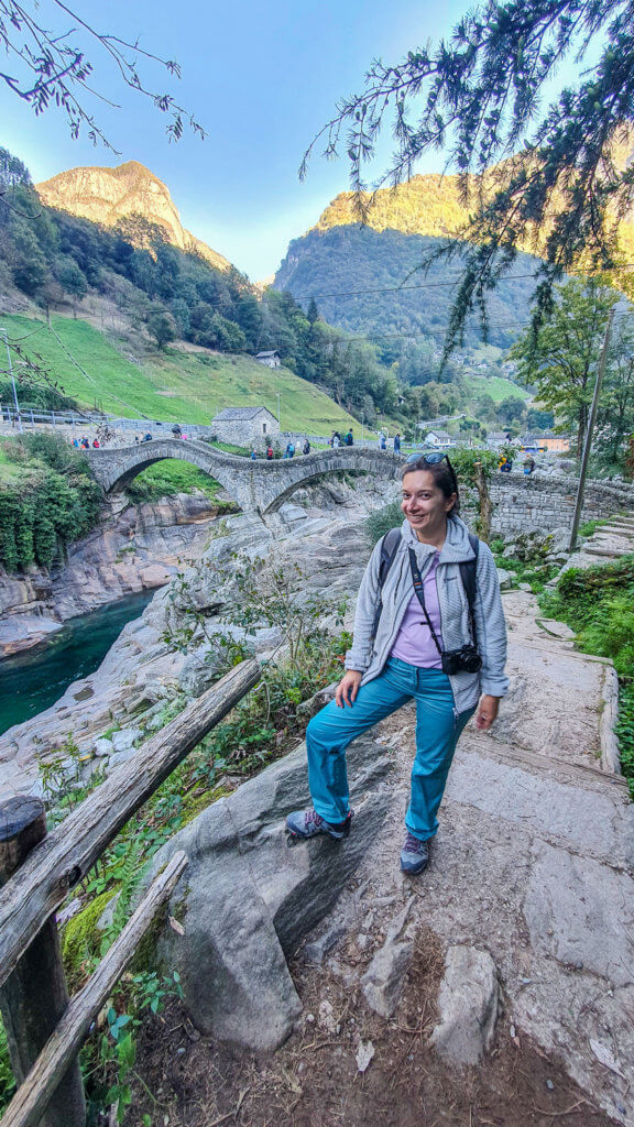
#6 Sonogno to Lavertezzo, Verzasca Valley Trail
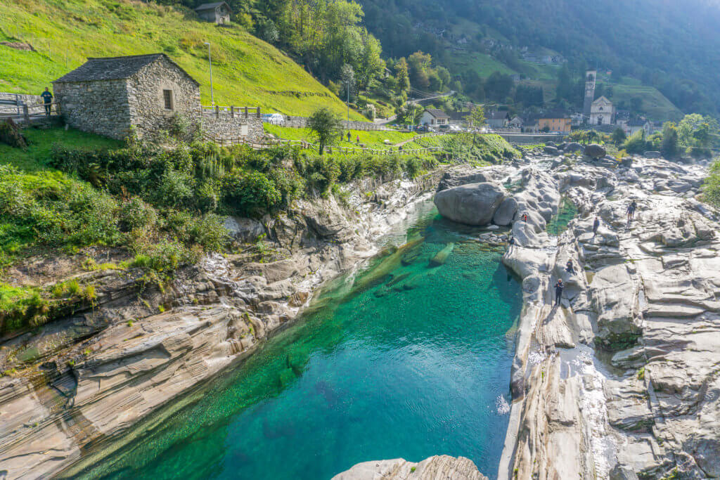
The magical Verzasca Valley is one of the jewels of the Ticino canton, in southern Switzerland, and definitely deserves a spot on your Swiss bucket list.
I absolutely loved this hike and the change of scenery from the usual Swiss mountain trails. Combined with a visit to Locarno and Ascona the day before, it made for a perfect weekend in Ticino.
Distance: 14 km (or 8 km to Brione)
Walking time: 4,5 hours
Difficulty: Easy
Summary
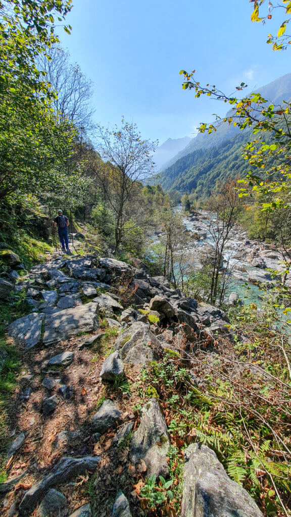
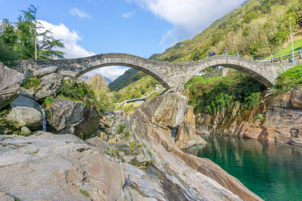
Considered one of the 12 most beautiful hiking trails in Switzerland, this wonderful hike in Ticino runs along the Verzasca River, from the traditional village of Sonogno to the picturesque village of Lavertezzo and its famous Ponte dei Salti. In the end, you can admire the emerald-green waters of the Verzasca River and its spectacular rock formations. Or even swim in its cold waters if you dare.
How to get there
We started our day driving from Locarno to Lavertezzo, with a quick stop at the impressive Verzasca Dam, one of the highest dams in Europe, and the famous James Bond bungee jumping site on GoldenEye.
We then left the car at a parking lot near Lavertezzo and took the bus to Sonogno.
The bus ride to Sonogno took around 30 minutes and was pretty busy with hikers and day-trippers, even in October. Luckily, there were 3 buses doing the same route at the same time on that Sunday morning. Otherwise, it would have been impossible to get a place on the bus.
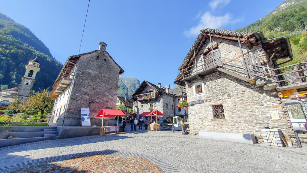
You can buy a one-way ticket from Lavertezzo to Sonogno from the ticket machine at the bus stop.
Alternatively, you can take the bus from Locarno to Sonogno to start the trail.
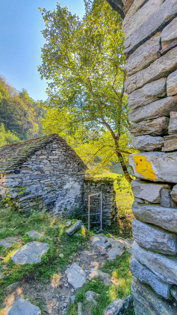
Once we arrived in Sonogno, we took some time to walk around this small village of stone houses and flowery streets. There was also a lovely Sunday market along the main street and square, selling local artisanal and gastronomic products.
After buying some local picnic supplies, we were finally ready to start our hike around noon.
Trail description
From Sonogno, simply follow the yellow signs to Lavertezzo or Trail 74.
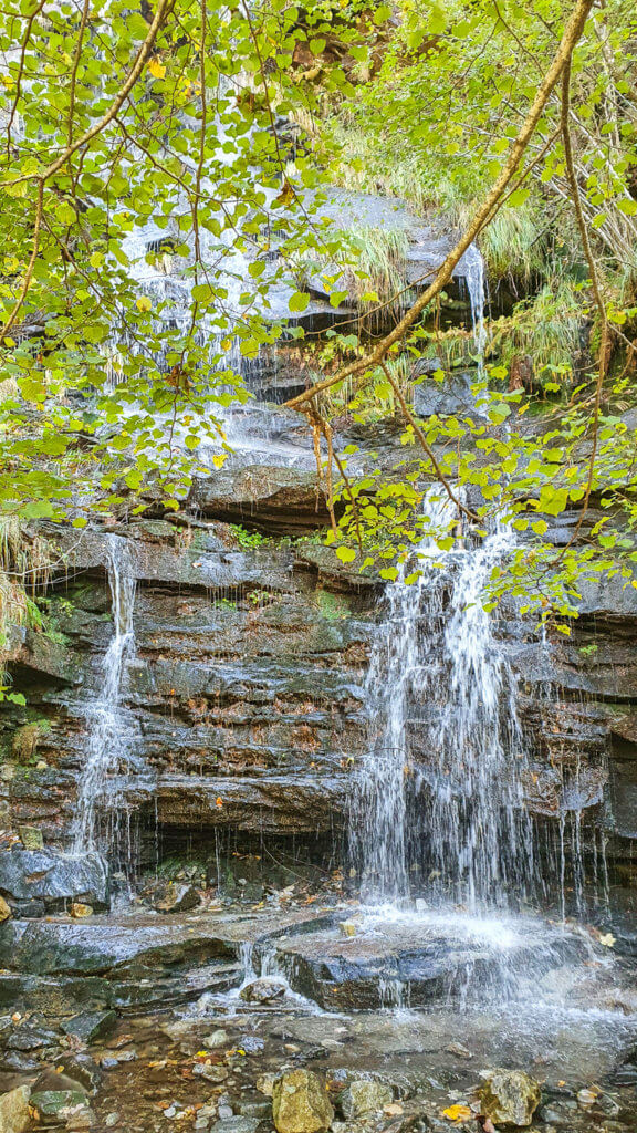
The first half of the trail until Brione (around 8 km) was very beautiful and diverse, sometimes walking near the river, sometimes amidst forest or along green valleys with impressive mountain backdrops, through traditional rustici Ticino villages or refreshing waterfalls – you have it all.
If you want, you can end the hike here and take the bus from Brione back to Lavertezzo.
We decided to keep walking and ended up finding the second part of the trail less interesting and even a bit monotonous, to be honest.
After some amazing views over the powerful Verzasca River right at the beginning, the rest of the trail goes almost exclusively through the forest. It’s also much busier with families since it’s also a themed trail with traditional games for children.
We arrived at Lavertezzo around 5 pm, meaning the whole trail took us around 5 hours to complete, with a break for lunch and some stops for photos and admiring the beautiful views.
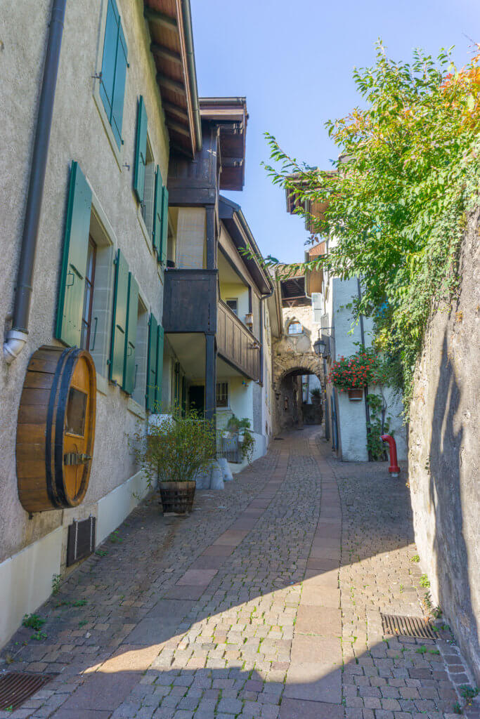
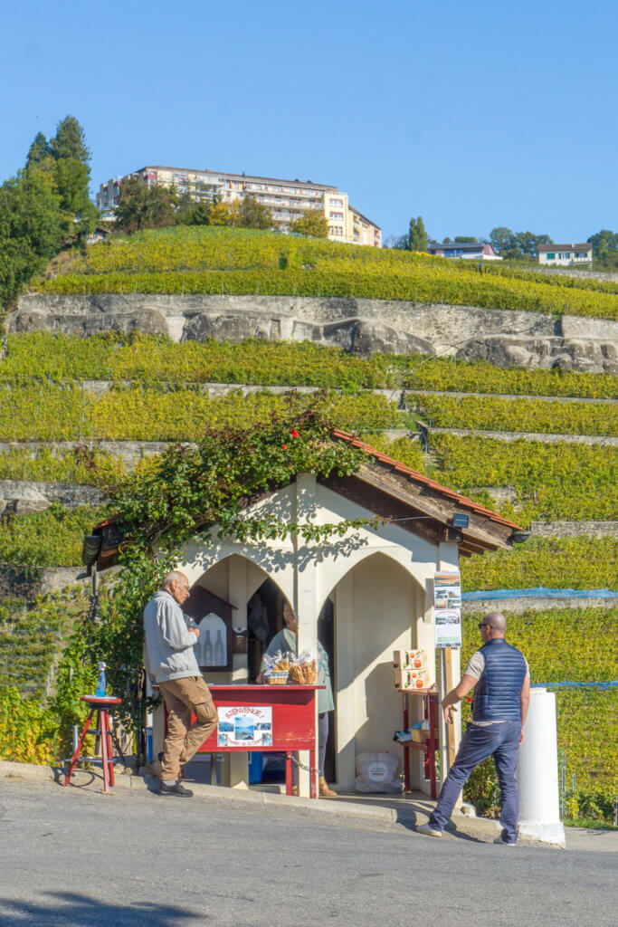
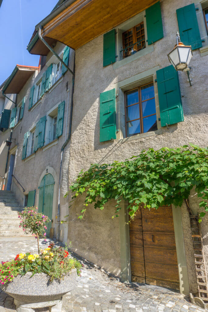
#7 Lavaux Vineyards Hike
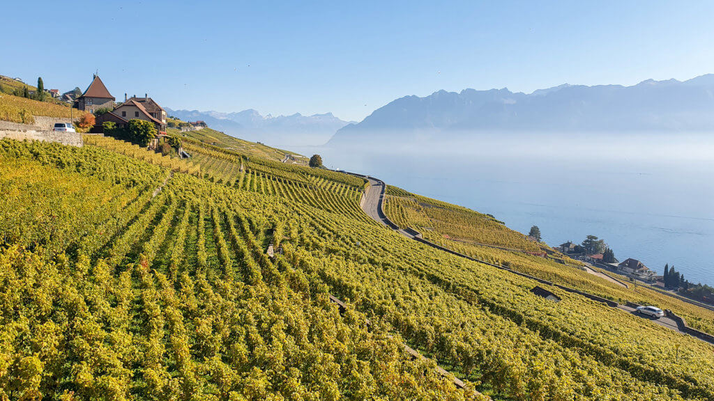
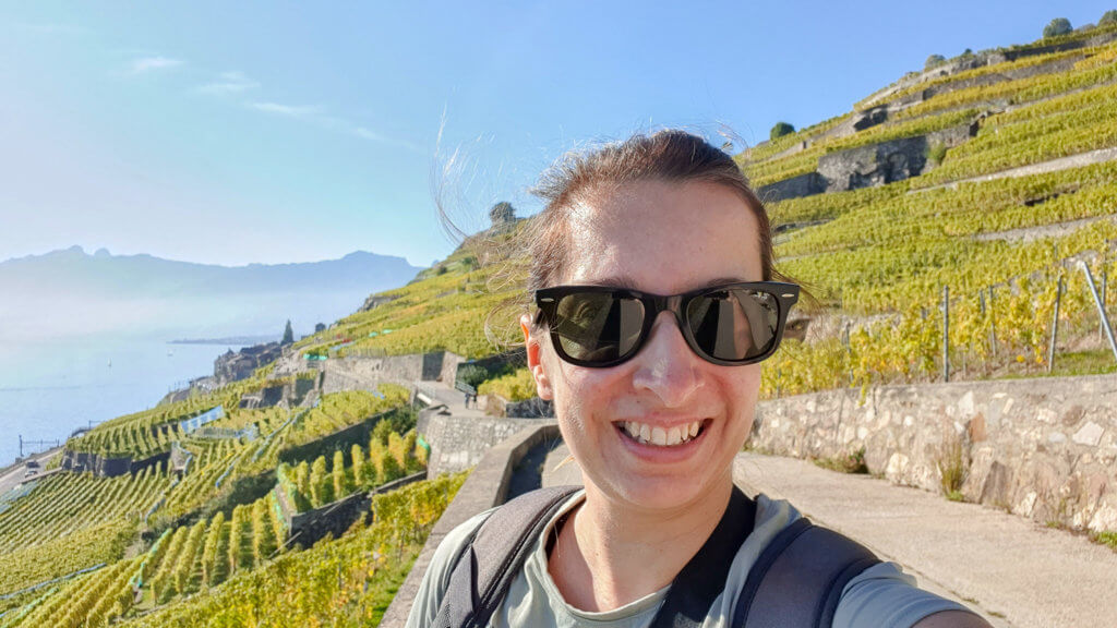
The Lavaux Vineyards hike was my first solo hike in Switzerland and one that I truly recommend. I did it in October during harvest and fall foliage season and it was absolutely stunning!
Distance: 11 km
Walking time: 4 hours
Difficulty: Easy
Summary
This is a long but easy hike on a private path through the Unesco World Heritage Site of the Lavaux vineyard terraces. The trail starts at Saint-Saphorin, a picturesque wine-growing village on the shore of Lake Geneva, and ends in Lutry, where you can take the train or boat back. If you’re looking for beautiful, beginner hiking near Lausanne and Geneva, look no further!
How to get there
The easiest way to get to Saint-Saphorin is by public transportation. I took the train from Zurich and arrived around 11 on a lovely Sunday morning.
Once you step out of the train, you are immediately greeted by a gorgeous view of Lake Geneva.
Trail description
From Saint-Saphorin, follow the yellow signs to Lutry or Route 113. Once you are on the trail itself you get a beautiful view over the village and the lake with the Alps as a backdrop. You also start seeing the beautiful vineyard terraces all around you.
From here, it’s mostly a flat path to Cully, walking through a couple of villages and stunning scenery everywhere you look.
After 2 hours of walking, I took a break for lunch just before Cully. If you’d like to shorten your hike, you can end it in Cully, where you can take the train or boat back.
I found the second part of the hike slightly more challenging due to a couple of steep ascents and descents. Nevertheless, I’m very happy I kept walking, as right after Cully you’re rewarded with one of the best views over the vineyards, Lake Geneva, and the Alps.
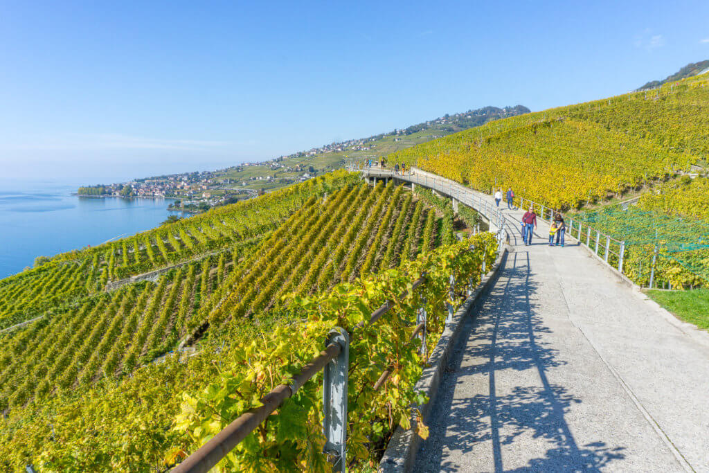
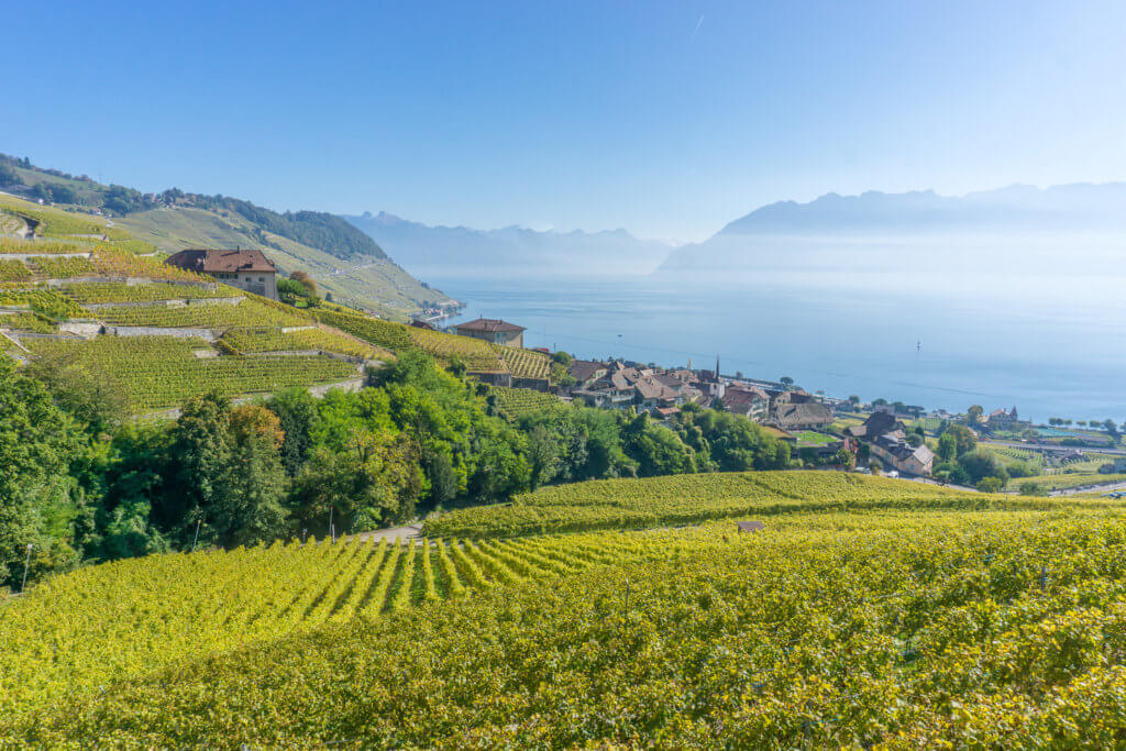
The second part is also a bit more diverse. The trail runs right through the vineyards, small wine-growing villages, and many wine cellars where you can have a break and a taste of the famous local wine.
The classic 113 route ends at Lutry. I arrived at Lutry train station around 15:45, just in time to take the train back to Zurich.
It took me around 4,5 hours to complete the whole trail, but I did it at a slowish pace, stopping a lot for photos and admiring the views and for lunch.
#8 Lauterbrunnen Valley Hike
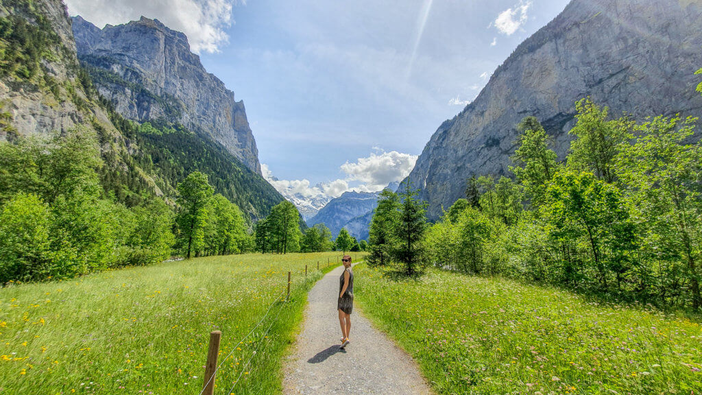
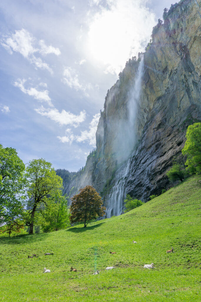
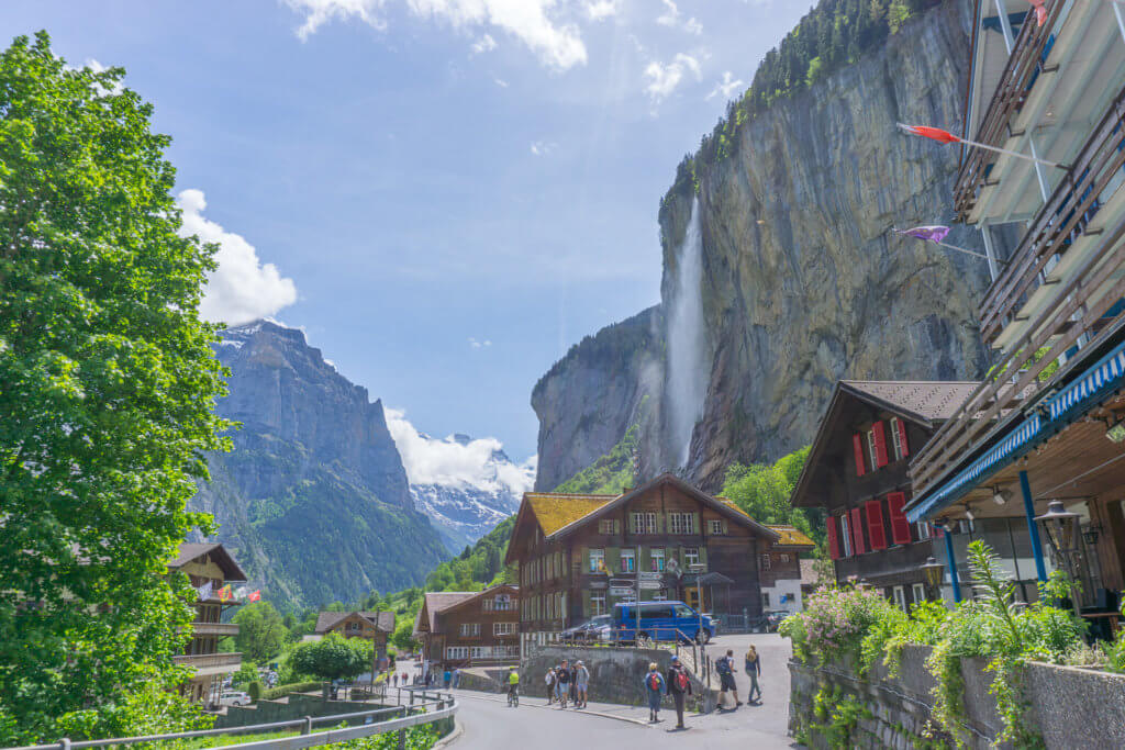
Lauterbrunnen is probably the prettiest village and valley in Switzerland. Surrounded by no fewer than 72 waterfalls, the Lauterbrunnen Valley is so out of this world that is said to have inspired the city of Rivendell from The Lord of the Rings.
I’ve visited Lauterbrunnen in both spring and fall and it really never ceases to amaze me. If you’re looking for a super easy hike with breathtaking views, this is it!
Distance: 7 km (or 3,5 one-way)
Walking time: 3 hours including
Difficulty: Easy
Summary
This easy and flat Lauterbrunnen hike starts at the center of the village for a first glimpse of the impressive Staubbachfall. It then leads you to the waterfall itself for a peek from behind the water curtain. From here, it continues past the Spissbachfall and turns left towards the glorious Trümmelbachfälle, to end with a visit to these powerful glacier waterfalls hidden inside a mountain.
How to get there
Located in the beautiful Jungfrau region, Lauterbrunnen can be easily reached by train or car.
If you’re driving, there are a couple of parking lots right in the village center. We had no problem finding a parking spot both times we visited.
Trail description
From the Lauterbrunnen train station or village center, follow the walking trail with yellow signs to the Staubachfall. You’ll eventually find the entrance to the Staubach rock gallery on your right.
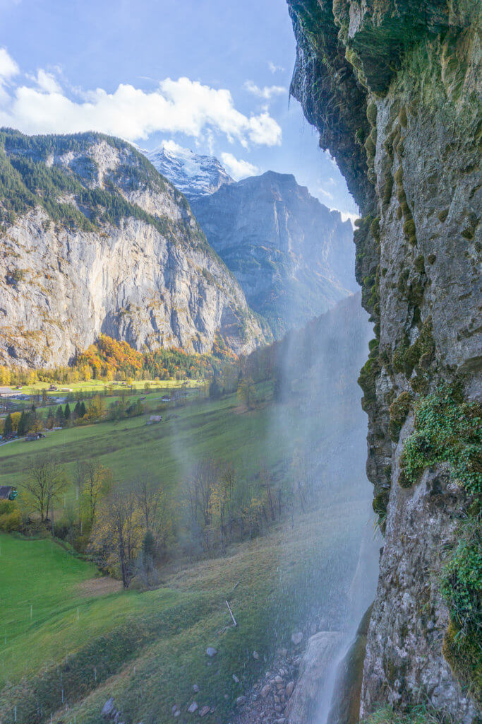
At 297 meters, this is the highest free-falling waterfall in Switzerland. Follow the walkway built into the rock below the waterfall to observe it from behind. When you get to the top, you can admire the Staubachfall from a different perspective, as well as the lovely view over the valley.
Then keep walking past the Spissbachfall and turn left on the yellow signs to the Trümmelbachfälle. This is one of the most beautiful parts of the trail, with magnificent views of the imposing mountains in the background.
After crossing the river, continue walking until you reach the main road and see the entrance to the waterfalls on your right.
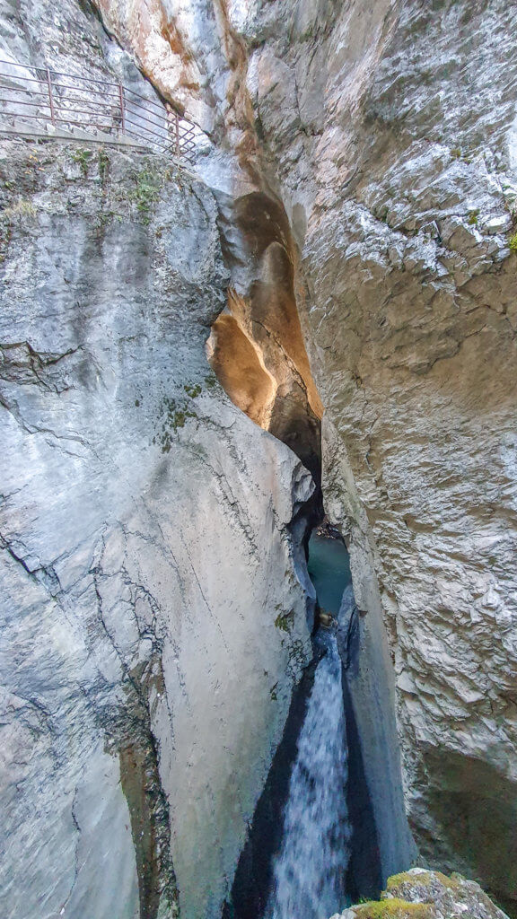
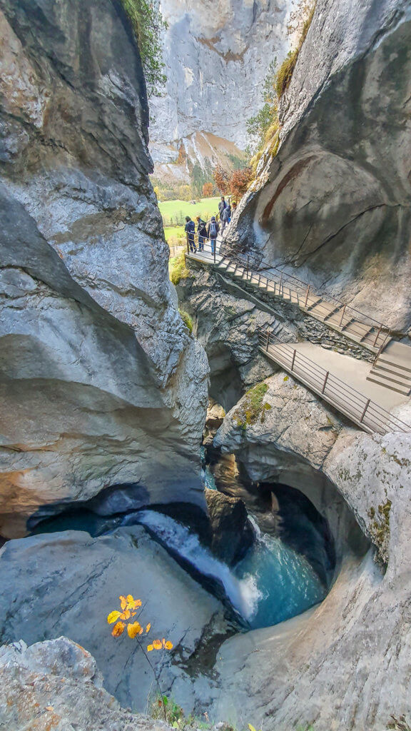
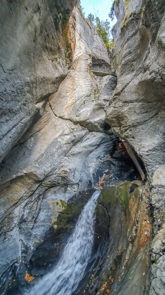
The Trümmelbach Falls are a real wonder of nature, where you can observe Mother Nature in all its beauty and power. These 10 glacier waterfalls inside a mountain are fed by the mighty glacier defiles of Eiger, Mönch, and Jungfrau with up to 20 thousand liters of water per second.
They are accessible through a tunnel lift that takes you all the way up to the top. You can then walk down through the narrow gorge to admire the falls and hear the water roaring as it finds its way through the mountain, drawing wonderful rock formations in its wake.
The Trümmelbachfälle are open daily from early April to early November. You can check the exact times and prices here. Tickets can be purchased on-site.
The best time to visit is during the summer when the falls are at their maximum flow. I visited in late October though, and it was still a truly impressive sight.
I recommend allowing at least one hour for your visit so you can take your time and see all the falls.
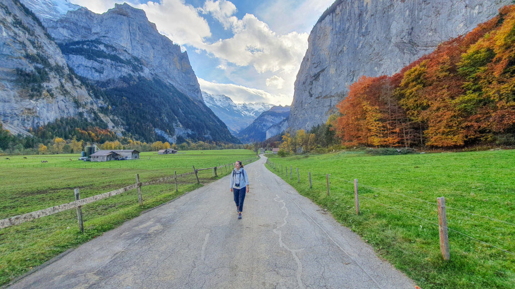
After the visit, we decided to walk back to the village center along the same trail, but you can also take the bus back to Lauterbrunnen.
Or, if you’d like to extend your hike, you can continue walking for one more hour following the trail to Hotel Stechelberg and get the bus back from there.
The trail from Lauterbrunnen to the Trümmelbachfälle and back, including visiting the Staubachfall and the glacier falls, took us around 3 hours to complete.
This list of the best hiking in Switzerland for beginners covers some of the best places to hike in the country if you’re a newbie hiker.
From spectacular Swiss Alps hikes with some of the best views in Switzerland to relaxing walking trails, you can’t go wrong with any of these hiking routes in Switzerland.
Which one will you choose?
Like this article? Support The Yogi Wanderer for the price of a cup of coffee (or tea) and help me bring you more free and inspiring content!
Don’t Forget Travel Insurance!
Travel insurance is very important and you should never leave home without it! I use and recommend SafetyWing travel medical insurance for travelers, remote workers, and nomads.
They cover overseas medical assistance in case of accident or illness, travel delay or interruption, lost checked luggage, emergency medical or political evacuation, natural disasters, and personal liability, at very competitive prices.
You can subscribe online here for a minimum of 5 days to a maximum of 364 days, or opt for a monthly subscription instead.
Read More:
If you like it, Pin it!
